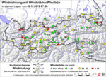
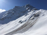
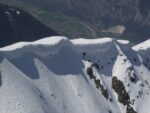
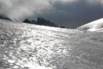
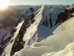
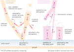
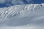
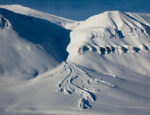
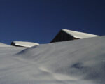
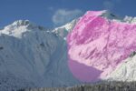
Area of slope where snow, transported by wind, accumulates and builds.
Glossary
A


Additional load
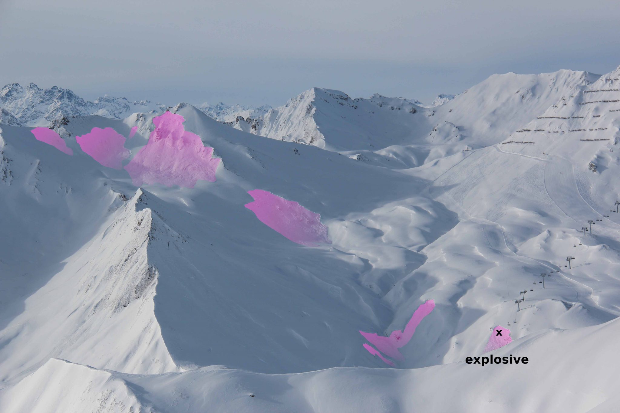
Low additional load
- individual skier/snowboarder, riding softly, not falling
- group with good spacing (minimum 10 m) keeping distance
- snowshoer
High additional load
- two or more skiers/snowboarders etc. without good spacing (closer than 10 m apart)
- snow machine
- explosives
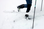
- single hiker/climber on foot
Altitudes
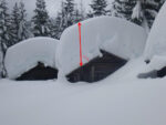
Amount of new snow
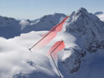
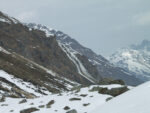
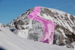
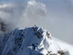
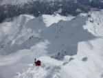
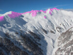
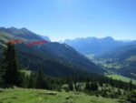
Area adjacent to the ridgeline, crest or summit

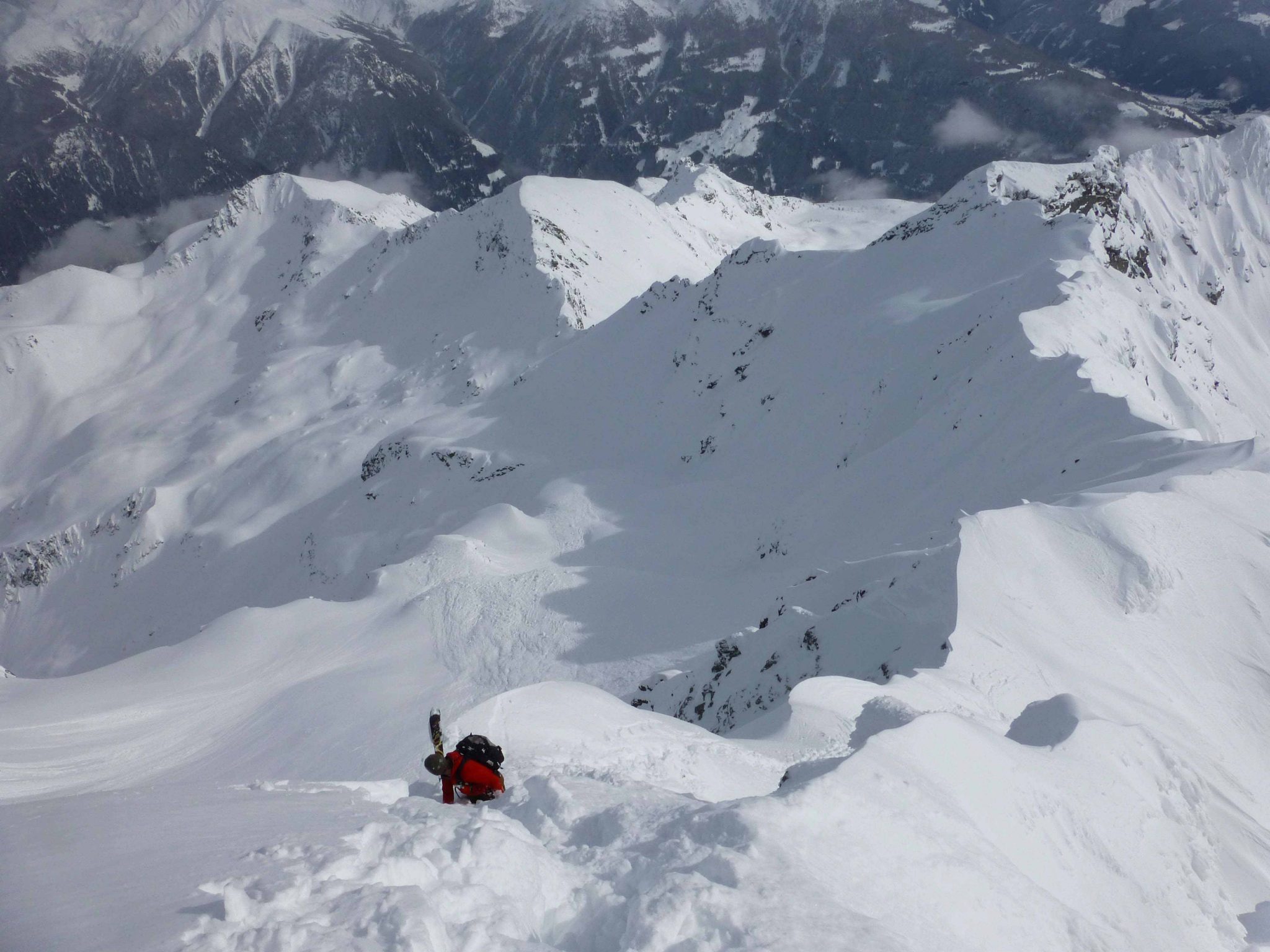
Area distant from ridgelines, wide-open slope
Mountain terrain unconnected to a ridgeline.
Further explanation:
Often refers to transitions from extremely steep to less steep terrain. Steep terrain and rocky steps not connected to the main ridge belong in this category. There is no clear boundary line between areas adjacent to or distant from a ridge, it is a transitional zone.


© Avalanche Warning Service Tyrol
Artificial avalanche release
Aspect

Avalanche


Avalanche bulletin
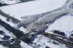
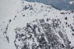
Avalanche deposit

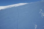
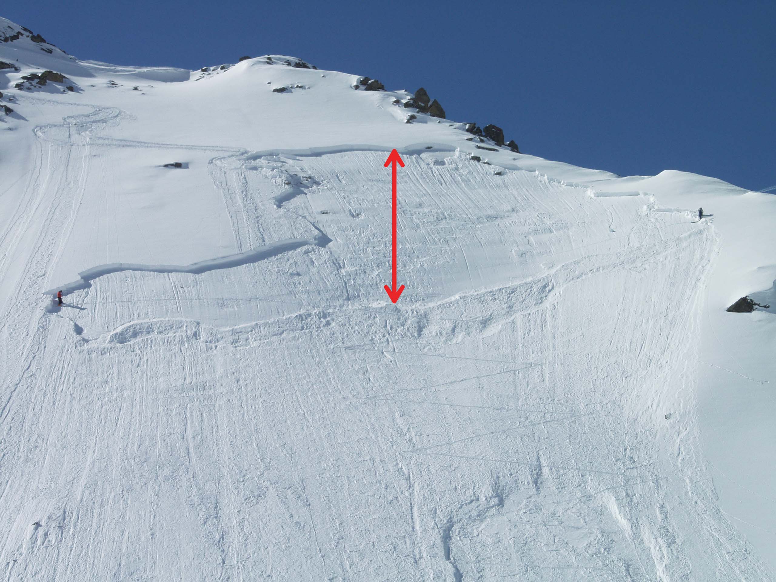
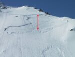
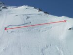
Avalanche length

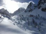
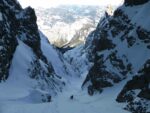
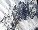
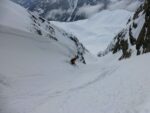
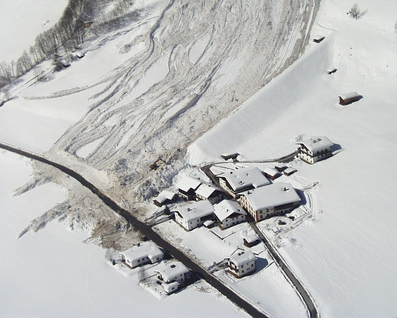
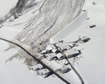
Avalanche Path
An avalanche path describes the area where an avalanche can occur, from its starting point (in a Starting Zone), its track and to its terminus (in the Runout Zone).
Avalanche problems
The five typical avalanche problems as defined by the European Avalanche Warning Services EAWS aim to describe typical situations as they occur in avalanche terrain and to support avalanche professionals and recreationists in their evaluation of the avalanche hazard. They complement the danger level and the danger locations (slope aspect and elevation) and represent the third level in the information pyramid. The linked definitions include a general characterization of the problem including expected avalanche types, a description of the typical spatial distribution and of the position of the weak layer in the snowpack, a characterization of the release mechanism, a description of typical durations and time periods of the problem, and finally some travel advises for recreationists. The main focus thereby is on recreationists traveling in avalanche terrain. However, the typical avalanche problems may also be useful for avalanche safety services.
For more information see: Avalanche Problems
Avalanche prone location, danger zone
Avalanche Runout zone
An avalanche runout zone is the lower portion of an avalanche path where debris slows and stops, typically occurring on slopes of 15 degrees or less.
It represents a high-consequence area even when the avalanche danger is low as avalanches may release from well above and reach low elevations.
Avalanche size
Size of avalanche, classified by destructive potential, runout length and dimension.
Size 1: small avalanche (sluff)
- minimal danger of burying (danger of people being carried/falling)
- snow relocation typically stops before the end of a slope

© Avalanche Warning Service Tyrol
Small avalanche (sluff) – size 1
Size 2: medium avalanche
- could bury, injure or kill a person
- snow avalanche stops typically at the end of a slope

© Avalanche Warning Service Tyrol
Medium avalanche – size 2
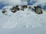
Size 3: large avalanche
- could bury and destroy a car, damage a truck; destroy a small building or break a few trees
- snow avalanche could traverse flat terrain (considerably below 30°) over distances of less than 50 m

© Avalanche Warning Service Tyrol
Large avalanche – size 3
Size 4: very large avalanche
- could bury and destroy a railway car, large truck, several buildings or a piece of forest
- snow avalanche traverses flat terrain (considerably below 30°) over distances more than 50 m and can reach valley ground

© Avalanche Warning Service Tyrol
Very large avalanche – size 4
Size 5: extremely large avalanche
- could gouge the landscape; disastrous damage potential
- snow avalanche reaches valley ground; largest runout distance known

Extremely large avalanche – size 5
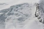
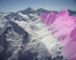
Avalanche Terrain
Avalanche terrain refers to any area where avalanches can start(Starting Zone), travel(Avalanche track), or stop (Avalanche Runout Zone). It combines specific slope, snowpack, and terrain features that make avalanches possible or influence their behavior. An avalanche path describes the route of the avalanche from its release point to the tip of the debris pile once it stops. Avalanche terrain may comprise many avalanche paths.
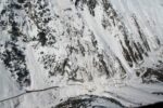
Avalanche track
Where the avalanche gains speed and travels downslope. It is the middle zone of an avalanche Path. Between avalanche initiation in the Starting zone and where the avalanche slows down and stops in the Runout Zone.
Avalanche types
Avalanches are categorized among different criteria. The most important distinctions are made regarding:
- the manner of starting (loose snow avalanche/ slab avalanche)
- the form of movement (flow avalanche / powder avalanche) and
- the liquid water content in the snow (dry snow/wet snow avalanche).
Additionally there are glide snow avalanches, where the whole snowpack slides on the ground.

© Avalanche Warning Service Tyrol
© Avalanche Warning Service Tyrol

© Avalanche Warning Service Tyrol


© Avalanche Warning Service Tyrol

© Michael Auckenthaler
Glossary
B
Base of a rock wall

Bed surface
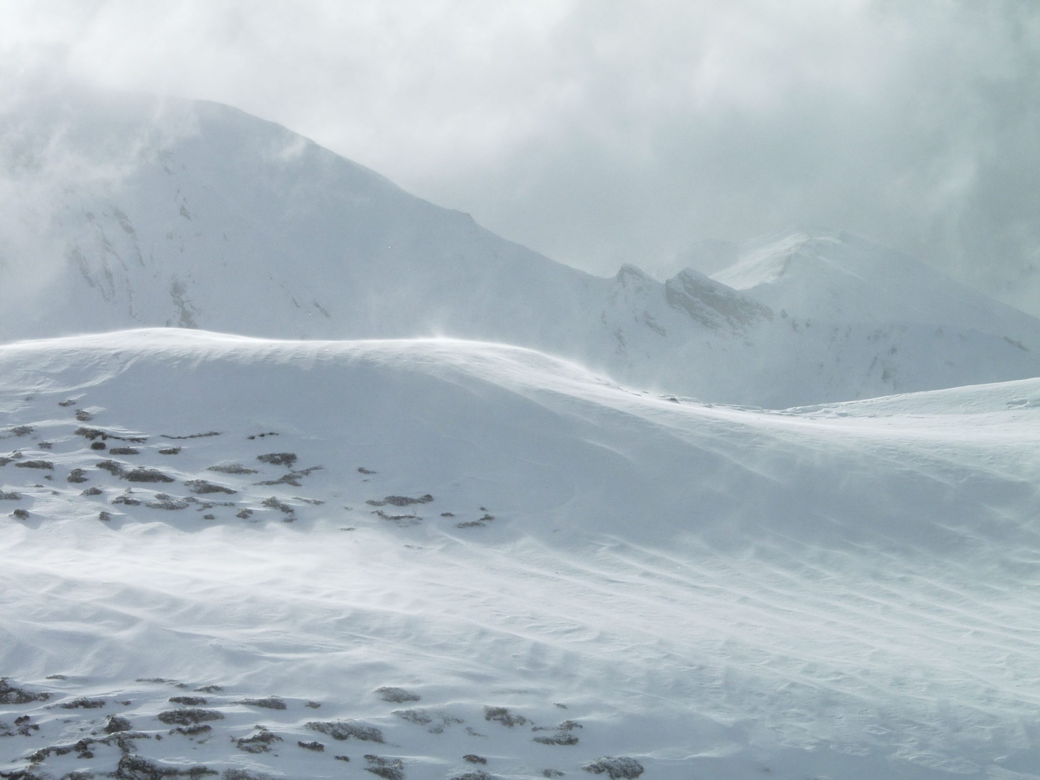
Blowing snow
Bonded snow
Snow is “bonded” if the particles are interlinked (sintered) to such a degree that a carefully isolated block does not collapse upon itself. Bonded snow can be soft or hard.
Forms when wind-transported snow is deposited or through metamorphosis. When adjacent to a weak layer, bonded snow is an important factor in the triggering of a slab avalanche.
Bowl

Breakable crust


Glossary
C
Corn snow
Snow accumulated in recent years, mostly atop glaciers, intensely metamorphosed and denser because of melting and refreezing, as well as from pressures of overlying snow masses; usually described as superficially softened melt-freeze crusts in the advanced season.
See: Firn

© Avalanche Warning Service Tyrol
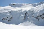
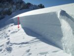
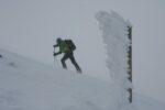
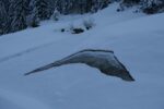
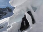
Cornice

Couloir

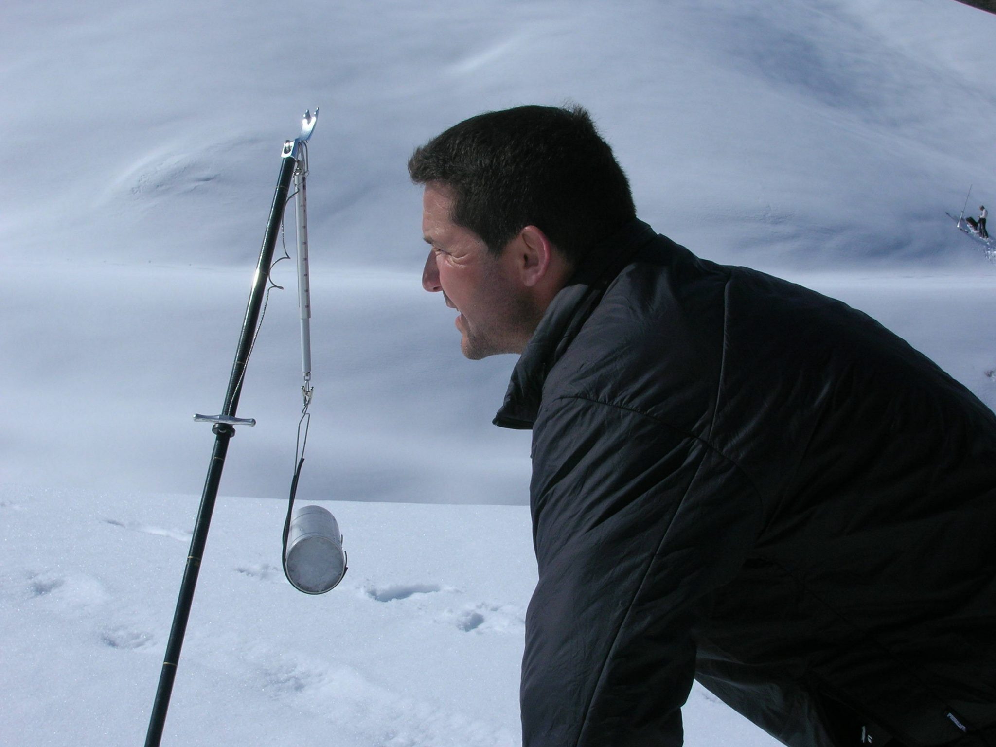
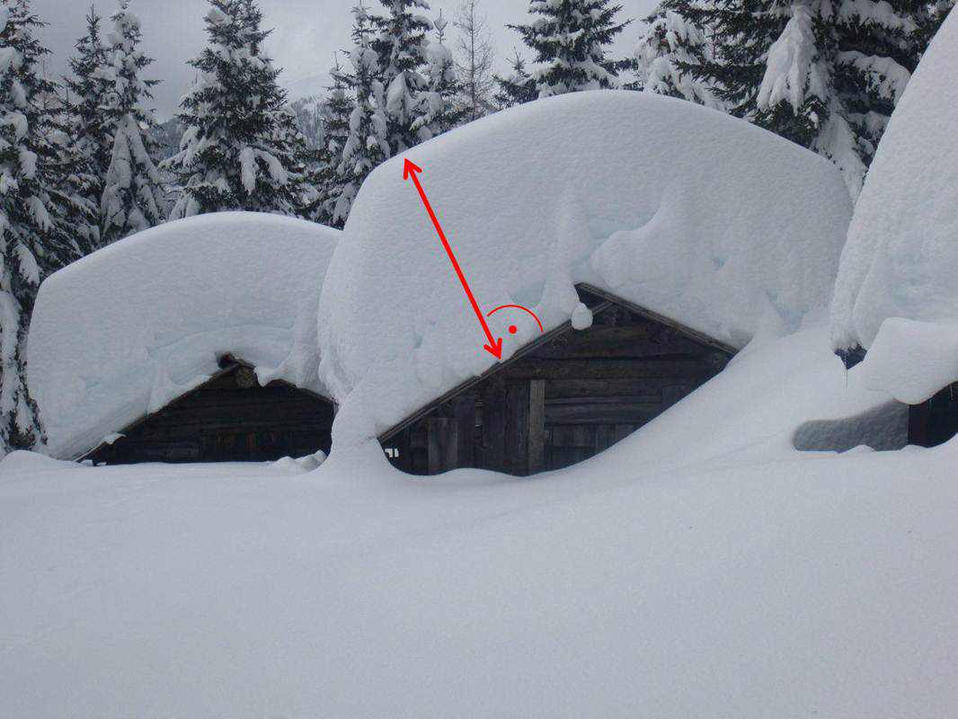
Critical depth of new fallen snow
New fallen snow is a burden on the existing snow cover, can thus increase avalanche danger.
In unfavourable conditions, e.g. poor layering, low temperatures, strong winds, even a few cm (10-20) can be critical. In favourable conditions, e.g. stable old snowpack, light winds, 20-30cm can be critical.

© Avalanche Warning Service Tyrol


Glossary
D
Danger

Danger patterns
Typical avalanche problems and danger patterns commonly indicate typical, repetitive and usually obvious danger situations that highlight an avalanche hazard situation.
However it should be noted that while avalanche problems give an initial indication of possible danger factors (e.g. new snow), danger patterns provide deeper explanation into the processes within the snowpack and the causes of the problem (e.g. problem due to excessive new snow load on a weak layer). Therefore, danger patterns help to describe different scenarios or processes that signal the development of a particular avalanche problem. By recognising avalanche problems and danger patterns recreations can be forewarned about the development of dangerous situations and change their plans accordingly.
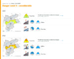
Danger scale
The avalanche danger is evaluated in the avalanche bulletin in each of the individual avalanche warning services and describes the avalanche danger using the five-level European avalanche danger scale.
- 1 – low
- 2 – moderate
- 3 – considerable
- 4 – high
- 5 – very high
The five danger levels are described by three different parameters:
- Probability of avalanche release
- Distribution of hazardous sites
- Size and frequency of expected avalanches
The danger level always applies to a region with an area of >100 km² and not to a specific individual slope. The avalanche danger described in avalanche reports is always a forecast with uncertainties. It should always be checked on site.
More information about the European avalanche danger level scale can be found here.
Daytime changes, during the course of the day
Evolving avalanche danger over the course of a day. Avalanche danger can vary greatly during the day. Springtime situations are typical: after a clear night, avalanche danger is low early in the morning, then increases over the course of the day due to daytime warming and solar radiation. Also common while heavy snowfall, prolonged wind activity and rain.

© Avalanche Warning Service Tyrol
Decomposed snow
Decreasing firmness (of a snow layer)

Dense flow avalanche
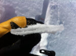
Depth hoar, cup-shaped crystals
Large, hollow crystals with edges, striations and facets on the surface, the result of faceting amidst high internal temperature disparities.
Characteristic grain size: 2 to 5 mm or larger
Depth hoar is an accumulation of cup-shaped crystals. Weak layers are rather often made of depth hoar.
See also: www.snowcrystals.it


© Lukas Ruetz
Depth of new, fresh fallen snow


Glossary
E
Endangered traffic route

Equilibrium metamorphism, isothermal metamorphism (snow crystal rounding)


Exposed


Glossary
F
Faceted snow crystals, grains
Snow grains, solid, with multiple flat glassy faces and sharp edges. Developed from faceting metamorphism, usually poorly bonded to one another (fewer contact points), a critical factor in avalanches if a faceted layer is covered with bonded snow.
Typical grain size: 0.5 to 3 mm
See also: www.snowcrystals.it

© www.snowcrystals.it
Firmness (of snow)
Firn
Snow accumulated in recent years, mostly atop glaciers, intensely metamorphosed and denser because of melting and refreezing, as well as from pressures of overlying snow masses.
Usually described as superficially softened melt-freeze crusts in the advanced season (see: Corn snow).

© Avalanche Warning Service Tyrol
Firn mirror
A very thin layer of ice on the snowpack surface formed through interaction of solar radiation, melting, wind impact and outgoing radiation.
Sunny slopes frequently have a glazed surface in springtime due to the high reflectivity of the firn mirror on the snowpack surface.

© Avalanche Warning Service Tyrol
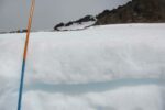
Fracture depth

Frost build-up/Riming


Glossary
G
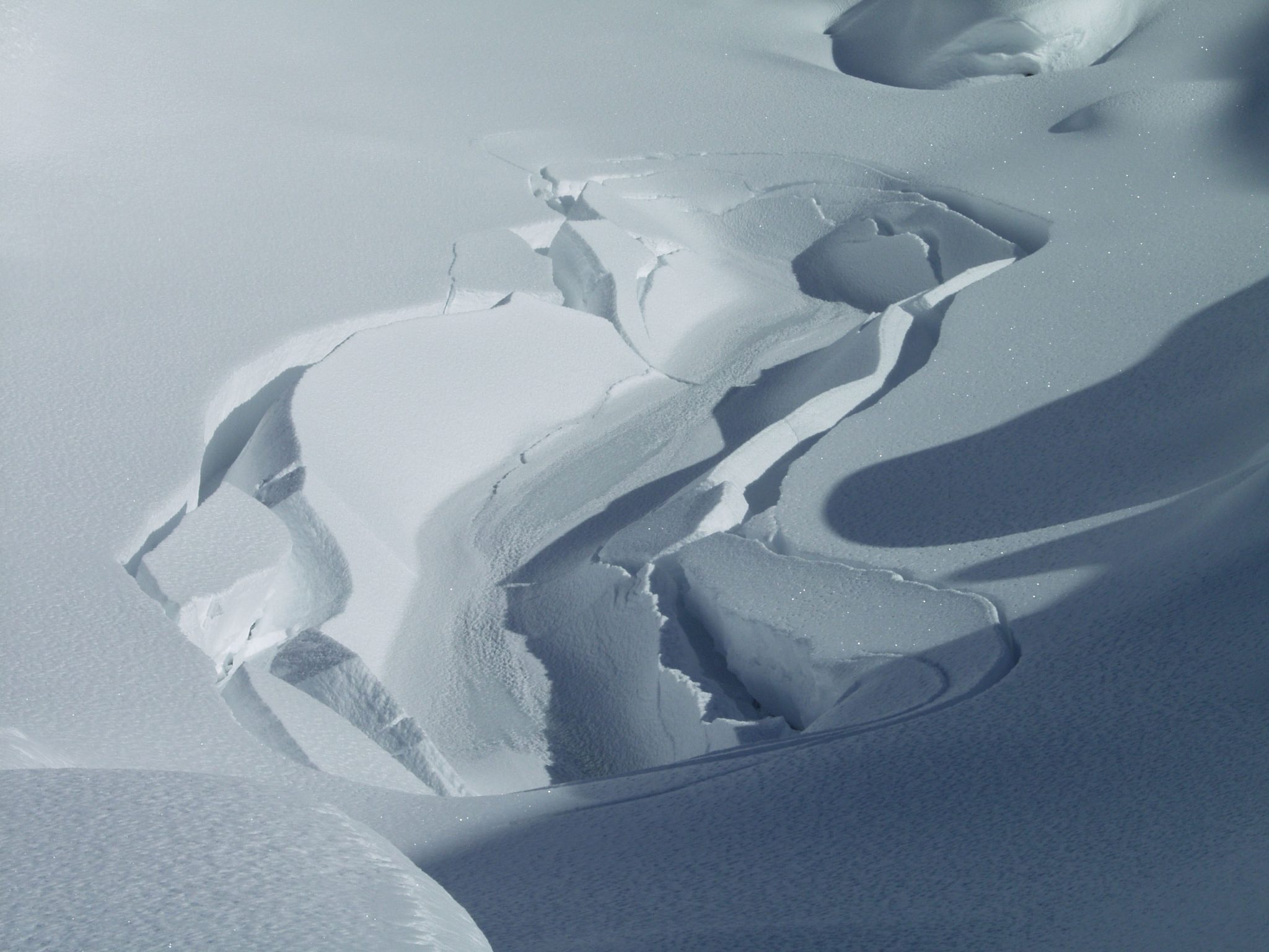
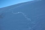
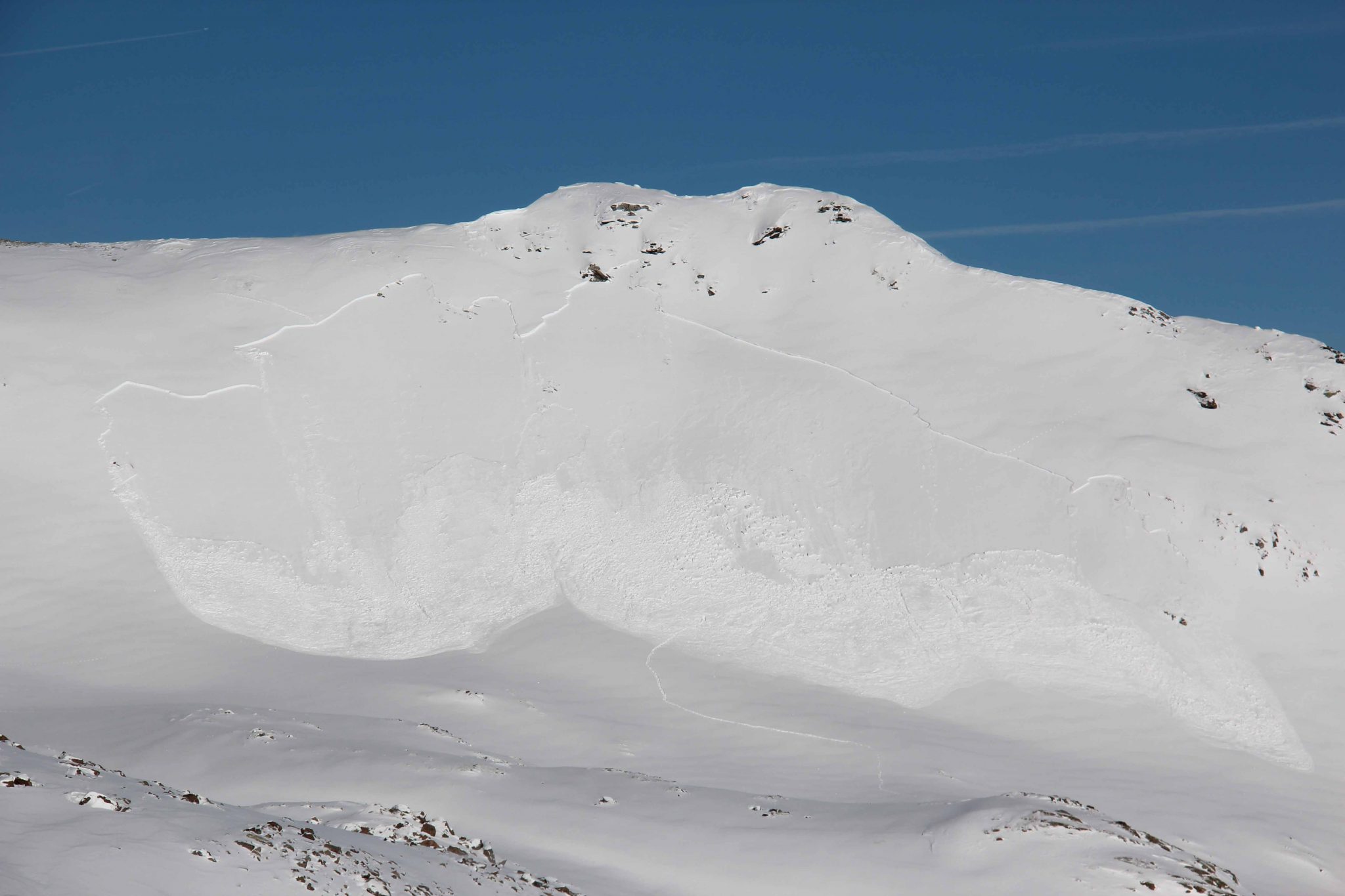
Glide crack
A crack visible on the snowpack surface formed by snow-gliding on steep, and particularly grass-covered slopes.
Areas below slopes with visible glide cracks should be avoided whenever possible due to threat of gliding sluffs or avalanches.

© Avalanche Warning Service Tyrol
Gliding sluff, gliding avalanche
Gliding snow
Gliding snow problem
The gliding snow problem is characterized by gliding of the entire snowpack on the ground. These full depth avalanches release due to failure in the basal layer or failure at the snow soil interface. The presence of liquid water at the glide horizon is crucial for the release. Depending on the origin of the water, they can be classified into warm (melt water or rain is percolating the snowpack) and cold (the warm ground causes melt at the basal layer or groundwater outflow) events. They are difficult to predict, although glide cracks open usually before a release.
For more information see Gliding Snow Problem.


Back to Avalanche Problems.
Graupel
Ground avalanche
Groundwater outflow
Water coming out of the soil, for example lifted through a hydraulic pressure gradient between the soil surface and the overlaying snowpack. The water either gets advected through channels in the soil or is stored as ice in the soil which gets melted. Also springs are called ground water outflows. Both is leading to liquid water at the snow-soil-interface, destabilizing the snowpack.

Glossary
H
Hardness (of a snowlayer)
For the assessment of the hardness of the individual layers, one considers the hand hardness.
| 1 | fist | very soft | fresh snow, depth hoar, surface hoar, decomposed, faceted crystals, melting forms |
| 2 | 4 fingers | soft | round grains, decomposed, faceted crystals, melting form, rounding faceted particles |
| 3 | 1 finger | medium hard | round grains, melt-freeze crust, rounding faceted particles |
| 4 | pencil | hard | round grains, melt-freeze crust |
| 5 | knife | very hard | melt-freeze crust |
| 6 | ice | compact | ice lense |
In general: the softer the layer, the lower the strength and the greater the difference in hardness between two adjacent layers, the more likely the layer boundary is a potential fracture surface because the difference in hardness can lead to stress concentration and because differences in hardness favor fracture propagation.
A hardness difference of two or more levels of hand hardness is usually considered critical.

Glossary
I
Ice avalanche
Glacier ice which breaks and plunges over a steep step, sometimes sweeping snow in the avalanche track with it. Often responsible for large-scale disasters.
| Year | Location | |
| 1895 | Altels (Switzerland) | 6 fatalities, 158 cattle killed |
| 1965 | Mattmark (Switzerland) | 88 fatalities |
| 1970 | Huascaran (Peru) | with subsequent debris flow: 18’000 fatalities |

© Avalanche Warning Service Tyrol
Ice lense

In particular (with high additional loading)
Incoming radiation
External radiation which strikes the snowpack.
Shortwave radiation is largely (up to 90%) reflected from the snow surface, depending on type of snow. The remainder warms the uppermost layers of the snowpack and possibly moistens them.
Long-wave (infrared radiation) radiation is almost completely absorbed by the snow surface.

© Avalanche Warning Service Tyrol
Increasing firmness (of a snow layer)

Inneralpine regions
Areas enclosed by high alpine ridges, subject to weakened precipitation.
Typical inneralpine regions are central Valais, Engadine and central Grisons (CH), located between Northern Alpine Ridge and Main Alpine Ridge; Ortler-Vinschgau region (I), Oetz Valley (A).
In France, the following are considered inneralpine regions: Vanoise, Maurienne, Grandes-Rousses and Oisans-Pelvoux, as well as the mountain region near the French-Italian border.
In Spain, the area of Cerdanya (Perafita-Pulgpedrés) in the Catalonian Pyrenees is included.

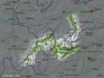
© University of Vienna


Glossary
K
Kinetic metamorphism (faceting)
Transformation process of dry snow with a strong temperature gradient in the snowpack. Crystals develop into faceted, hollowed grains, growing in size with hollows receding. Bonding between grains decreases with a lessening of density in the affected layers. The greater the temperature gradient, the more intense is the rate of change.
The process is accelerated in shady terrain with a shallow snow cover. This process can affect the whole or isolated areas of the snowpack. Layers of faceted crystals are often found near to crusts. On the snowpack surfaces the process develops more readily during clear sky nights.


© Lisa Manneh
Glossary
L
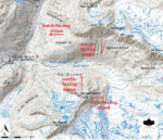
Lee slope


Likely (something is likely)
Local, from place to place
Glossary
M
Melt-freeze crust

Melt-freeze metamorphism

Glossary
N
Naturally triggered avalanche, natural release

New fallen snow
Freshly fallen snow.
A neither transformed, nor densified nor settled snow layer, from current or recent precipitation.
Characteristic grain size: 1 to 3 mm
The avalanche bulletin ordinarily cites period of snowfall.
See also: www.snowcrystals.it


© Avalanche Warning Service Tyrol
New snow problem
The new snow problem is related to current or recent snowfall. The additional loading on the existing snowpack or a lack of cohesion in the newly fallen snow can cause avalanche activity. The problem is widely present, often in all aspects and lasts usually until a few days after the snowfall event.
For more information see New Snow Problem.

Back to Avalanche Problems.
Glossary
O
Old snow cover, old snowpack


Glossary
P
Pass area
Persistent weak layers
The persistent weak layers problem is related to the presence of persistent weak layers in the old snowpack. These weak layers typically include buried surface hoar, depth hoar or faceted crystals. Weak layers can persist for weeks to months; possibly most of the winter season.
For more information see Persistent Weak Layers.

Back to Avalanche Problems.
Poorly bonded layer
Possible (potential)
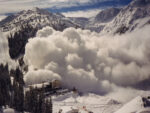
Powder avalanche, powder cloud avalanche

Glossary
R
Radiation

Region, regional

Remote triggering
Remote release of a slab avalanche triggered by additional loading, e.g. skiers or freeriders and other recreationists.
In general the trigger is outside of the avalanche path. However it may occur that persons can be caught and buried, if the avalanche reaches the remote triggering location.
© Avalanche Warning Service Tyrol
Rib


Ridgeline
Risk
Round snow grains

Glossary
S
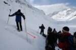
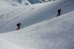
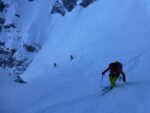
Safety spacing
Precautionary backcountry measure: maintaining a distance between persons to minimize exposure to avalanche hazards by reducing loading on a slope and minimising all person involvement in an avalanche release. i.e. reduce risk in dangerous terrain.
Contrary to spacing out, safety spacing permits only one person at a time being exposed to risky terrain. Commonly used during descents when a steep slope is skied singly.


© Avalanche Warning Service Tyrol
Sastrugi
Secured areas

Settlement

Shady slope
Slopes in shadow, untouched or little struck by sunlight, typically north-facing.
Additional note:
More prevalent in December and January, due to lower solar angles, than in spring. Mountains can cast shadows on surrounding slopes in any aspect; thus, not only north-facing slopes are shady.

© Avalanche Warning Service Tyrol
Shooting crack

Sintering


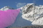
Size of the starting zone (for slab avalanches)
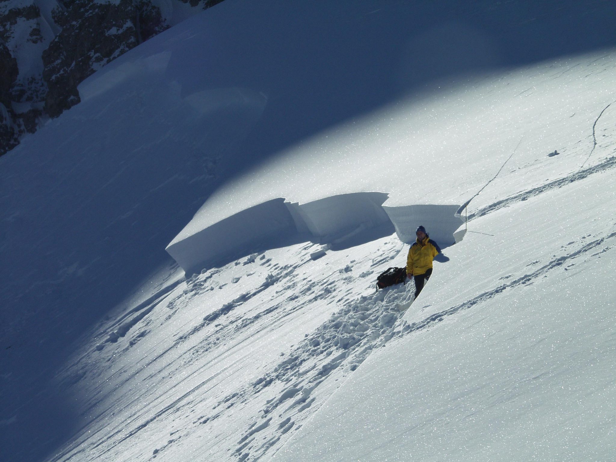
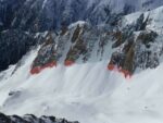
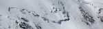
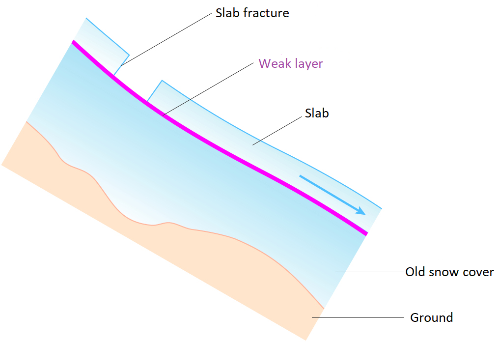
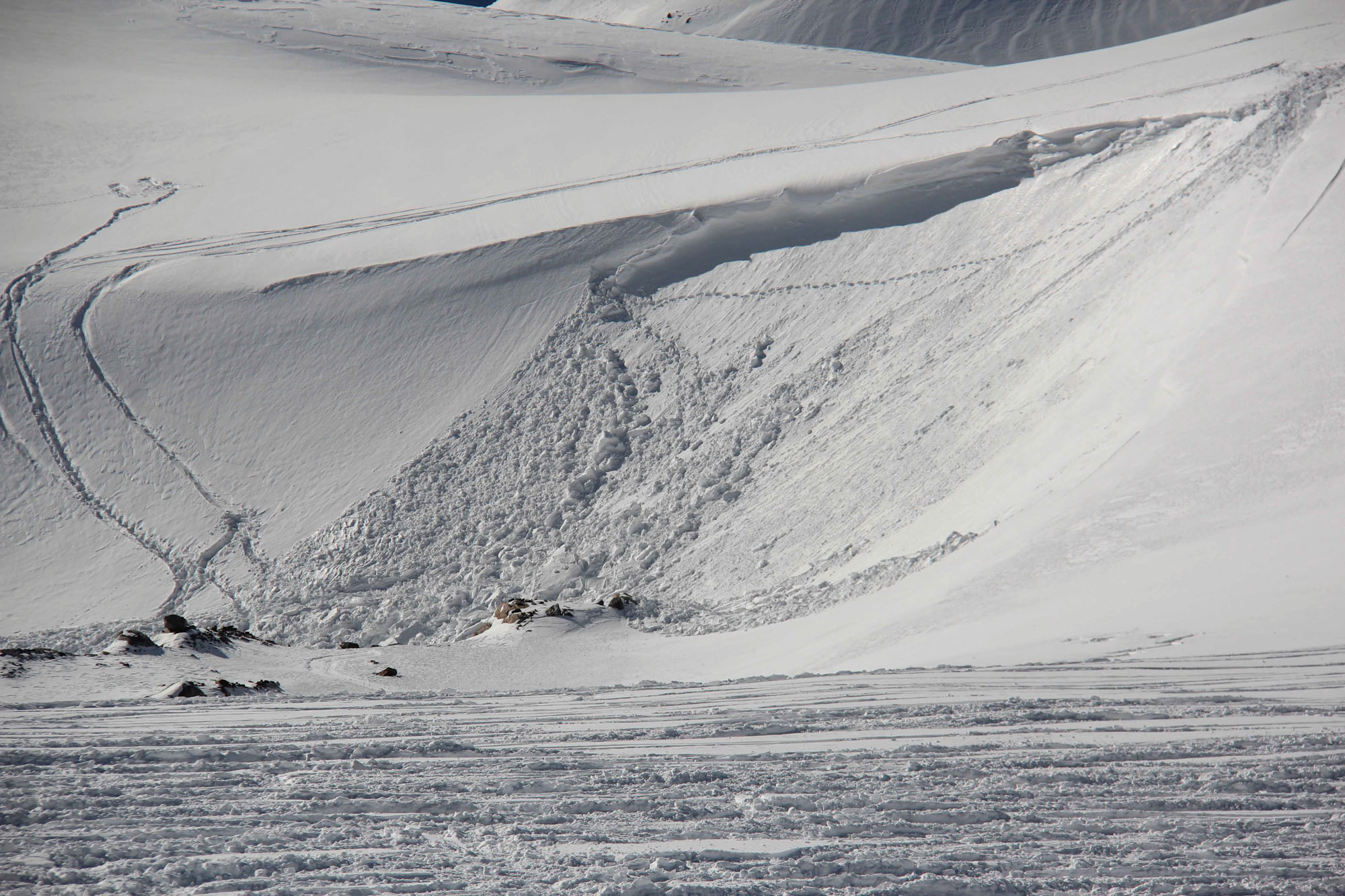
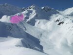
Slab avalanche
The abrupt release of a slab of snow on a mountain slope.
After crack initiation and crack propagation in a weak layer the released slab comprises 3 elements: The weak layer, the gliding horizon and the slab. If the slope angle is steep enough, the slab will glide down. If the slope is not steep enough, the slab will settle down on the failed weak layer. Possibly a whumpf sound will follow due to air pressed out of the weak layer.
The fracture line will be sharp edged.
© Avalanche Warning Service Tyrol
Slab thickness


Slab width

Slope discontinuity
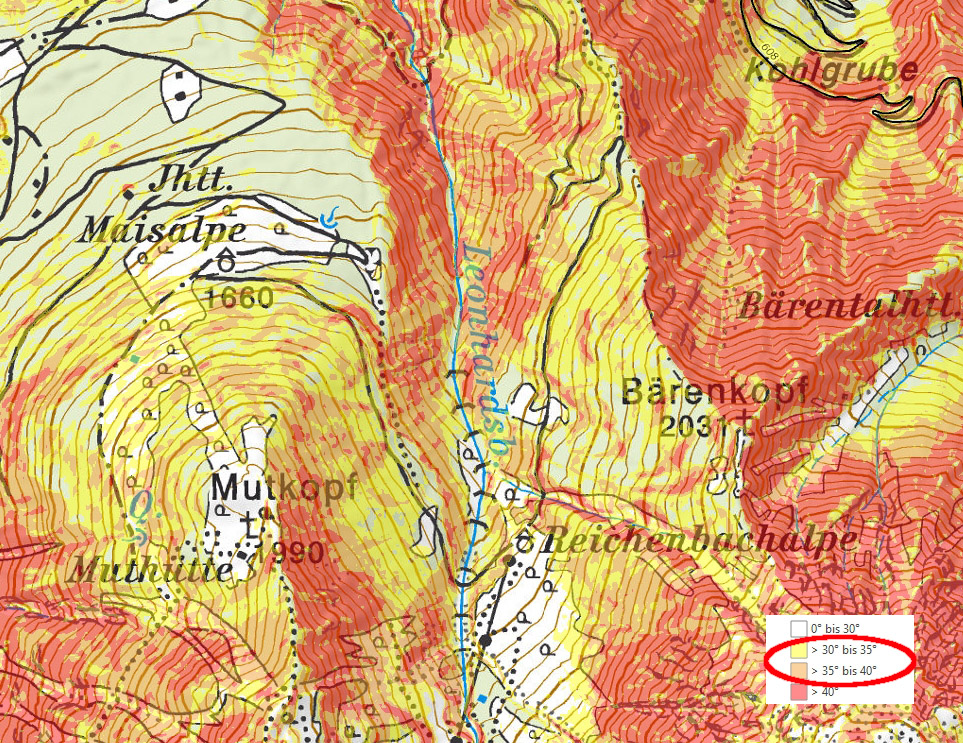
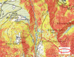
Slope gradient

Slush

Slushflow
A mudflow-like avalanche composed of slush—very saturated snow. Commonly occurring after rainfall and/or intense thawing have produced more water than can drain through the snow. Slush avalanches can occur on very gentle slope angles. They usually occur in Arctic climates on permafrost soil when dry depth hoar becomes rapidly saturated with water in spring.

© Markus Eckerstorfer
Small scale

Snow base, fundament
Snow cover, snowpack

Snow density
The mass per unit volume of a given quantity of snow. Snow can have highly varied densities:
| Snow type | Density [kg/m³] |
| very light new snow | approx. 30 |
| new snow | approx. 100 |
| decomposing and fragmented precipitation particles | 150 – 300 |
| rounded snow | 250 – 450 |
| faceted snow | 250 – 400 |
| depth hoar | 150 – 350 |
| wet snow | 300 – 600 |
| firn | 600 – 830 |
| glacial ice | approx. 900 |
| pure ice | 917 |

© Avalanche Warning Service Tyrol
Snow depth

Snow depth increase
Snow dunes, ripples
Snow deposits formed by wind-transported snow. Ripples are small transversal depositional features. Dunes are typically larger in scale and often Barchanoid.
The flat, shallow angle side is the windward slope, the steep side is the leeward slope. Not to be mistaken for sastrugi.
Snow layering

Snow line


Snow metamorphism
Snow plume


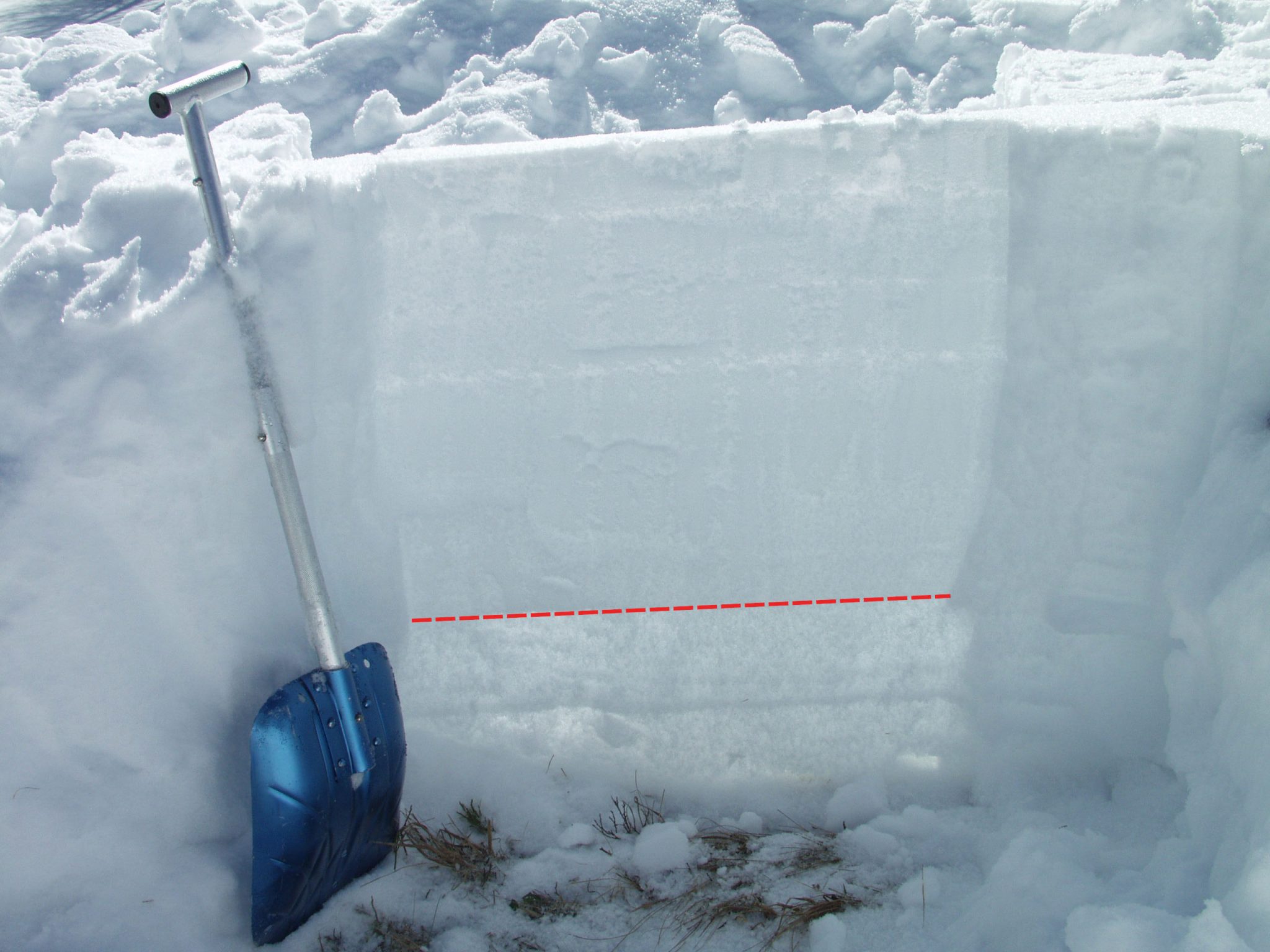
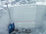
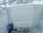
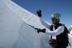
Snow profile
Snow profiles are local and temporal points recordings of the snow cover and
snowpack and play a major role in the assessment of avalanche danger. In such a profile, the snowpack is exposed all the way to the ground for a cross-section examination. In this way, the different layers in the snow become visible and can also be further investigated in terms of parameters such as hardness, snow type/grain shape, water content/moisture and snow temperature.
Due to the transformation of the snow, the individual layers are in a constant state of change and thus allow conclusions to be drawn about meteorological influences at the time of the formation of the respective layer (fresh snow, rain, wind, solar radiation, etc.), but also later developments within the snowpack (inherent pressure, slope, etc.).
The snow profile alone only allows potential weak layers to be identified, but their actual stability cannot be assessed. This can be determined by means of a stability test.


© Avalanche Warning Service Tyrol
Snow thickness
Snow water equivalent
The height of the water column if a snow sample is melted (measured in millimeters), with reference to the same area. The water equivalent of a 20 cm snow sample with a mean snow density of 100 kg/m³ is 20 mm. With a density of 500 kg/m³ the equivalent of a 20 cm snow sample is 100 mm of water.
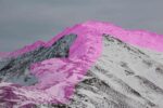
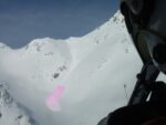
Snowdrift accumulations, snowdrift deposit
The result of snow transport. Drifting and blowing snow usually forms a dense layer deposited on lee slopes, often with brittle, fragile bonding. Areas prone to drifting are gullies, bowls, slope discontinuities and areas adjacent to ridgelines.
Further explanations:
Snow masses transported by wind. Three main processes take place: rolling, saltation and suspension. During transport, snow crystal size decreases considerably, depending of wind speed and duration, up to 10 to 20 % of its original size. The small fractured particles are closely packed by wind, bringing about a cohesive snow layer (a dense-cohesive slab or a soft-cohesive slab) on the lee slope. The colder snow is while forming a deposit, the more brittle the deposit is.
Size of snow drift accumulations (thickness)
- small snow drift accumulations: 5- 20 cm thick
- medium snow drift accumulations: 20 – 50 cm thick
- large snow drift accumulations: thicker than 50 cm
Extent of snow drift accumulations (spatial)
- some snow drift accumulations:
very little snow drift accumulation with small spatial extent - extensive snow drift accumulations:
major snow drift accumulations mostly with large spatial extent on slopes of all aspects
Snowfall level
Altitude above sea level at which precipitation falls as snow which is deposited on the ground.
Snowfall level is usually about 300 m lower than zero-degree altitude. During intense precipitation or in enclosed valleys, snowfall level can be as much as 600 m below the zero-degree altitude.


© Avalanche Warning Service Tyrol
Snowmelt
Rounded crystals formed by melt-freeze metamorphism, frequently in large clusters. Can be moist (= 0°C). When frozen, snowmelt is forming a melt-freeze-crust.
Characteristic grain size: 0.5 to 5 mm
See also: www.snowcrystals.it
Snowpack capable of bearing loads


Spacing distances, maintaining distances

Stability, snowpack stability

Stabilized, consolidated
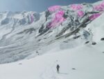
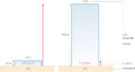
Starting zone
Sector of terrain where avalanche releases.An avalanche start zone is the uppermost part of an avalanche path, typically on slopes between 30 and 45 degrees, where unstable snow breaks away, caused by a natural, artificial or human triggers.

© Avalanche Warning Service Tyrol
Steep terrain
Stress (in the snowpack)

Sunny slope

Surface crust

Surface hoar (hoar frost)
Transparent, frequently flat crystals forming on the snowpack when moist air settles on the surface.
It forms most often during cold, clear, humid nights. Once it is blanketed by fresh fallen snow, surface hoar is one of the most critical weak layer.
See also: www.snowcrystals.it

Glossary
T
Temperature gradient
Change in temperature per unit distance of depth, expressed in °C/m or °C/cm.
The temperature gradient is recorded in the snowpack vertically from the ground to the surface. It is determined as the difference between adjacent measurements. For example a “small” temperature gradient is 1 °C per meter, a “large” temperature gradient is 25 °C per meter.

© Lisa Manneh
Thoroughly moist snow

Thoroughly wet snow
Transported snow
Re-deposition of snow occurring at a wind speed greater than about 4 m/sec for loose snow, and greater than 10 m/sec for denser snow.
Further explanations:
The amount of snow deposited by wind increases with the third power of the wind speed, i.e. double the wind speed results in the eightfold amount of drifted snow. A maximum of snow drift is reached at wind speeds between 50 and 80 km/h. At higher wind speeds snow drift is reduced.


© Avalanche Warning Service Tyrol

Glossary
U
Unbonded snow


Glossary
V
Valley avalanche
Valley flank

Very light new snow

Glossary
W
Weak layer
Snowpack layer in which the crystals are poorly bonded and the layer has the potential to fail.
Typical crystals in dry weak layers causing avalanches are : precipitation particles; surface hoar; faceted crystals; hollow crystals; graupel. Generally >1mm in size, loose grains with few bonds Wet weak layers can be formed by all snow crystal/grain types.

© Avalanche Warning Service Tyrol
Wet snow avalanche
Wet snow problem
The wet snow problem is related to the weakening of the snowpack due to the presence of liquid water. Water infiltrates the snowpack due to high radiation impact (sunshine) which leads to melt or rain (advecting energy into the snowpack leading to melt as well).
For more information see Avalanche Problems – Wet Snow.

Back to Avalanche Problems
Whumpfing collapsing sound
Distinctive noise (resembling a “whumpf” sound) occurring when a weak layer beneath a slab collapses. The air of the weak layer is forced outside the snowpack, with the resulting whumpf sound being heard.
The sound usually indicates an unstable situation and can be accompanied by surface cracking. A whumpf is a clear avalanche alert.
Wind crust
Wind metamorphism, mechanical transformation of crystals
Mechanical transformation of snow crystals by wind in which forkings and other distinct shapes are obliterated.
This can occur in the atmosphere during snowfall or on the ground – snowdrift/windslab results.


© Avalanche Warning Service Tyrol
Wind slab problem
The wind-drifted snow problem is related to wind transported snow. The transported snow is typically packed onto leeward sides or aspects, into gullies, bowls and behind ridgelines or other wind-sheltered locations. Also commonly known as “windslab”. The problem is typically less widespread than the new snow problem.
For more information see: Wind Slab Problem


Back to: Avalanche Problems